


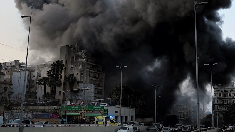
In a week marked by significant global developments, attention turns to Sudan, where a dire humanitarian crisis is unfolding. Reports from Kaamil Ahmed and Alex Clark at the Guardian reveal a systematic strategy aimed at dismantling food supply chains, threatening to starve the population. Satellite imagery underscores the severity of the situation, showing entire villages set ablaze, livestock decimated, and essential farming infrastructure obliterated.
This devastating scenario in Sudan is part of a broader pattern of geopolitical and environmental challenges being reported worldwide. Meanwhile, in Australia, the impacts of climate change are becoming increasingly visible. Recent visualizations highlight the extreme weather patterns over one of the hottest summers on record, with unprecedented nighttime temperatures and subsequent rainfall records.
Climate Change: A Global Concern
The climate crisis is not confined to Australia. A compelling story from the ABC illustrates the dramatic retreat of glaciers in Switzerland, a poignant reminder of the global nature of climate change. As glaciers shrink by over 3km, the implications for local ecosystems and communities are profound.
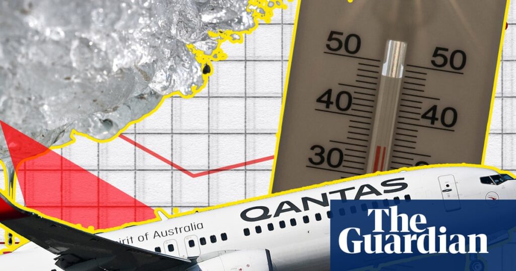
Nick Evershed, along with colleagues from the UK and Middle East, has documented the ripple effects of geopolitical tensions on global air travel. The US-Israeli conflict with Iran has resulted in a significant void in international airspace as airlines reroute to avoid conflict zones. This disruption is visualized through animated maps that offer a stark depiction of the conflict’s broader impact.
Economic Shifts and Technological Advances
Economic dynamics are also shifting, as evidenced by ProPublica’s analysis of employment trends at Nike’s factories in Indonesia. Over the past decade, jobs have migrated from more developed regions to lower-cost areas, highlighting the ongoing global shift in manufacturing bases.
In Melbourne, The Age has leveraged AI and satellite technology to map outdoor swimming pools, revealing urban inequalities not captured by traditional metrics. This innovative approach to data analysis echoes similar projects, such as the identification of nearly 60,000 outdoor basketball courts across the United States, underscoring the potential of AI in urban planning and social analysis.
Visual Storytelling and Data Analysis
Visual storytelling continues to play a crucial role in understanding complex global issues. A recent Reuters series provides a visual narrative of global protests, evacuations, and environmental hazards, offering a comprehensive view of current events.
Alvin Chang’s latest project maps “happy moments” from a 2017 survey, using data visualization to explore human emotions across different regions. This project not only highlights the innovative use of data but also offers a glimpse into the diverse experiences of joy around the world.
“The data methodology is particularly interesting in this one – how Alvin categorised the responses and then split them into regions to map.”
As these stories illustrate, the intersection of technology, data, and journalism is providing new insights into the challenges and opportunities facing our world. From the humanitarian crisis in Sudan to the innovative use of AI in urban analysis, these developments underscore the importance of informed storytelling in an increasingly complex global landscape.
Looking forward, the implications of these stories are far-reaching. The humanitarian crisis in Sudan demands urgent international attention and intervention. Meanwhile, the role of AI and data in urban planning and global analysis continues to evolve, offering new tools for tackling some of the world’s most pressing issues.