


The NISAR (NASA-ISRO Synthetic Aperture Radar) satellite, a collaborative Earth-observing mission between NASA and the Indian Space Research Organisation (ISRO), is poised to commence its science collection phase this month. Launched in July, the satellite has already demonstrated its impressive imaging capabilities, capturing detailed views of diverse landscapes across the globe.
Initial images from NISAR have showcased its ability to distinguish between different surface types. For instance, a striking image of Mount Desert Island in Maine clearly differentiates forested areas from open ground and buildings. Similarly, another image highlights the agricultural landscape of North Dakota, with farming plots, a river, and forests easily identifiable.
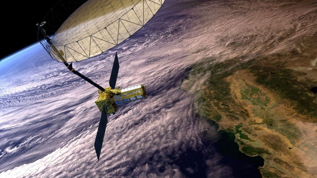
Advanced Radar Technology
NISAR is equipped with two sophisticated radar systems, each contributing unique capabilities to the mission. The NASA L-band radar, developed by the Jet Propulsion Laboratory (JPL), operates at a 24 cm wavelength. It is designed to collect data for 45 to 50% of each orbit on average, with potential peaks reaching 70%. This radar can penetrate forest canopies and measure soil moisture and ice surface motion down to fractions of an inch, providing critical data for understanding seismic and volcanic activity.
The ISRO S-band radar, operating at a 10 cm wavelength, features 48 transmit/receive array elements. This radar is particularly sensitive to small vegetation, making it ideal for monitoring agricultural and grassland ecosystems. Both radars function as SweepSAR, scan-on-receive, wide-swath mapping systems, utilizing a large 12-meter-diameter dish antenna to send and receive radar signals across a 242-kilometer-wide swath.
“The L-band system’s ability to penetrate and measure soil moisture and land motion is a key measurement in understanding how the land surface moves before, during, and after earthquakes, volcanic eruptions, and landslides,” according to NASA.
Orbit and Operational Goals
NISAR follows a polar, Sun-synchronous, dawn-dusk orbit at an altitude of 747 kilometers, with a repeat cadence of 12 days. NASA’s baseline requirement is for the L-band system to operate for at least three years, while ISRO aims for a five-year operational period for the S-band radar.
The satellite’s orbit and design allow it to provide comprehensive data that can be used for a multitude of scientific and practical applications, from environmental monitoring to disaster response.
Ground Calibration Efforts
Meanwhile, the Australian Antarctic Division is playing a crucial role in the calibration and validation of NISAR’s data. The Division is deploying corner reflectors at strategic locations across Antarctica, Heard Island, and Macquarie Island. This initiative involves installing eight small reflectors on Heard Island and four larger ones at each of the Division’s three Antarctic stations, as well as on Macquarie Island.
These reflectors, constructed by VerQuin Geodetic Engineering in the US, are the largest corner reflectors to be installed in Antarctica. Designed to withstand extreme winds of up to 350 km/h, they are covered by radomes to minimize snow accumulation. While primarily serving as ground reference points for NISAR, these reflectors can also be adapted for use with other satellites.
According to sources, “The four large, trihedral, stainless-steel reflectors are integral to ensuring the accuracy and reliability of the satellite’s data.”
Looking Ahead
The commencement of NISAR’s science phase marks a significant milestone in Earth observation. The satellite’s advanced radar capabilities and strategic partnerships underscore its potential to enhance our understanding of Earth’s dynamic processes. As NISAR begins to deliver valuable data, scientists and policymakers alike will be equipped with new tools to address environmental challenges and improve disaster preparedness.
As the mission progresses, further developments are anticipated, with potential implications for global scientific research and practical applications in agriculture, forestry, and natural disaster management. The collaboration between NASA and ISRO exemplifies the power of international partnerships in advancing space exploration and Earth science.