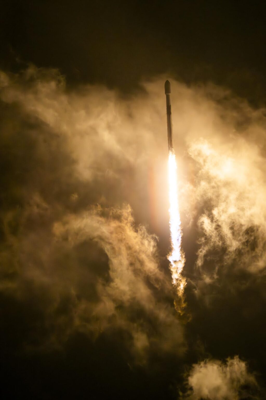
In a significant leap for climate science and ocean monitoring, NASA and SpaceX successfully launched the Sentinel-6B satellite aboard a Falcon 9 rocket from Vandenberg Space Force Base in California on November 16 at 9:21 p.m. PST. This satellite, about the size of a full-size pickup truck, is poised to provide critical oceanic and atmospheric data that will enhance hurricane forecasts, protect infrastructure, and bolster commercial activities such as shipping.
Approximately 90 minutes post-launch, at 10:54 p.m., the satellite established contact with a ground station in northern Canada, confirming that all systems were functioning normally. This marks the beginning of a new era in precise sea level measurement and climate monitoring.
Building on a Legacy of Ocean Observation
The Sentinel-6B satellite continues the legacy of its predecessor, Sentinel-6 Michael Freilich, by offering precise sea level measurements crucial for flood predictions and safeguarding coastal infrastructure. “Understanding tidal patterns down to the inch is critical in protecting how we use our oceans every day on Earth,” stated Nicky Fox, associate administrator of NASA’s Science Mission Directorate. The satellite will provide both local and global sea level data, vital for communities and businesses across the United States.
“Sentinel-6B will build upon the legacy of Sentinel-6 Michael Freilich by making sea level measurements that improve forecasts used by communities, businesses, and operations across the country.” – Nicky Fox
Sentinel-6B is part of the Copernicus Sentinel-6/Jason-CS mission, a collaborative effort involving NASA, ESA, EUMETSAT, NOAA, and the European Union. This mission is the latest in a series of ocean-observing radar altimetry missions that have been monitoring Earth’s seas since the early 1990s.
International Collaboration and Technological Innovation
The launch of Sentinel-6B underscores the importance of international collaboration in space exploration. Simonetta Cheli, director of ESA’s Earth Observation Programmes, emphasized the significance of this partnership: “This achievement demonstrates what can be accomplished when international agencies and industries work together toward a shared goal.”
“Sentinel-6B will ensure we continue to collect the high-precision data needed to understand our changing climate, safeguard our oceans and support decisions that protect coastal communities around the world.” – Simonetta Cheli
Sentinel-6B’s suite of instruments will measure approximately 90% of Earth’s oceans with unprecedented accuracy, providing data on wind speeds, wave heights, atmospheric temperature, and humidity. This data is crucial for understanding marine weather patterns and predicting hurricane development.
Technological Advancements and Future Implications
As Sentinel-6B reaches its operational altitude, it will fly in tandem with Sentinel-6 Michael Freilich, allowing for cross-calibration of data. Once this process is complete, Sentinel-6 Michael Freilich will move to a different orbit, and Sentinel-6B will assume the role of the official reference satellite. This transition ensures continuity in global sea level measurements, which are vital for climate research and policy-making.
Dave Gallagher, director of NASA’s Jet Propulsion Laboratory, highlighted the satellite’s capabilities: “Sentinel-6B demonstrates the versatile Earth science applications made possible by expertly engineered, space-based technology.”
“The satellite’s powerful suite of instruments will measure about 90% of Earth’s oceans down to fractions of an inch – continuing to add to a vital dataset that America and a growing global community depend on.” – Dave Gallagher
Looking Ahead: The Impact of Sentinel-6B
The data collected by Sentinel-6B will play a crucial role in informing decisions related to coastal communities, commercial shipping, national defense, and emergency preparedness. Karen St. Germain, director of NASA’s Earth Science Division, emphasized the satellite’s importance: “Sentinel-6B will collect ocean surface observations that will inform decisions critical to coastal communities, commercial shipping and fishing, national defense, and emergency preparedness and response.”
“This is what NASA does – puts advanced technology and science into action for the benefit of the nation.” – Karen St. Germain
With its advanced technological capabilities and international collaborative framework, Sentinel-6B is set to make significant contributions to our understanding of Earth’s oceans and climate. As it begins its mission, the satellite represents a critical tool in the global effort to monitor and adapt to our changing environment.


