
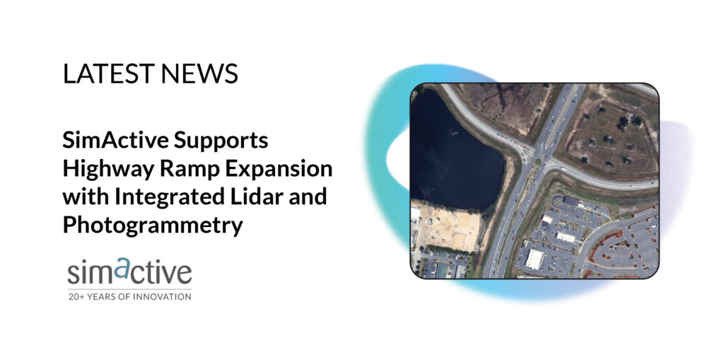
Montreal, Canada, October 7th, 2025 – SimActive Inc., a global leader in photogrammetry software, has announced that its Correlator3D software is being utilized by Settimio Consulting Services for the engineering design of a highway ramp expansion. By integrating photogrammetry and lidar data, the firm is able to deliver highly accurate ground measurements crucial for such infrastructure projects.
Settimio Consulting is leveraging Correlator3D to process imagery from a Leica TerrainMapper-2 sensor, effectively combining lidar and photogrammetry for enhanced results. This innovative approach ensures precise terrain models and reliable data that engineers can rely on for critical decision-making.
Innovative Integration of Lidar and Photogrammetry
The use of Correlator3D by Settimio Consulting marks a significant advancement in how engineering firms approach complex infrastructure projects. The software’s ability to integrate lidar data into photogrammetric processes allows for the creation of detailed and accurate terrain models.
“One of my favorite abilities of Correlator3D is to create the reference ortho from lidar,” said Kyler Whittenberger, Photogrammetry Manager at Settimio Consulting Services. “Including those points in the aerial triangulation and tying that surface into the solution makes everything more robust.”
This integration not only enhances the accuracy of the data but also streamlines the workflow, reducing the time and cost associated with traditional surveying methods.
About Settimio Consulting Services
Settimio Consulting Services, Inc. (SCS) is a woman-owned, DBE-certified firm specializing in lidar, photogrammetry, GIS, land surveying, and remote sensing solutions. Established in March 2009, SCS has built a reputation for quality and performance through the successful completion of Federal, State, County, and Department of Transportation (DOT) projects.
SCS aims to provide cost-effective, innovative mapping services and products to engineers, surveyors, scientists, and GIS professionals. Through strategic partnerships, SCS offers full-service photogrammetry and remote sensing services, boasting expertise in merging data from fixed-wing, rotary-wing, and mobile lidar with imagery technology for rapid and accurate project execution.
Implications for Infrastructure Development
The collaboration between SimActive and Settimio Consulting highlights a growing trend in infrastructure development: the use of advanced technology to improve accuracy and efficiency. As infrastructure demands increase, the integration of lidar and photogrammetry is becoming essential for delivering reliable data and supporting informed decision-making.
This development follows a broader industry shift towards digital transformation in civil engineering, where technology plays a pivotal role in addressing challenges such as urbanization, environmental sustainability, and resource management.
Looking forward, the successful implementation of Correlator3D in the highway ramp expansion project could set a precedent for future infrastructure projects, encouraging more firms to adopt similar technologies to enhance project outcomes.
For more information about Settimio Consulting Services and their innovative mapping solutions, visit www.scs-mapping.com.